HCM City aims to become a top Asian destination by 2030 and experts say to reach that end, Saigon River planning should be put as a central strategy for 2021-2030.
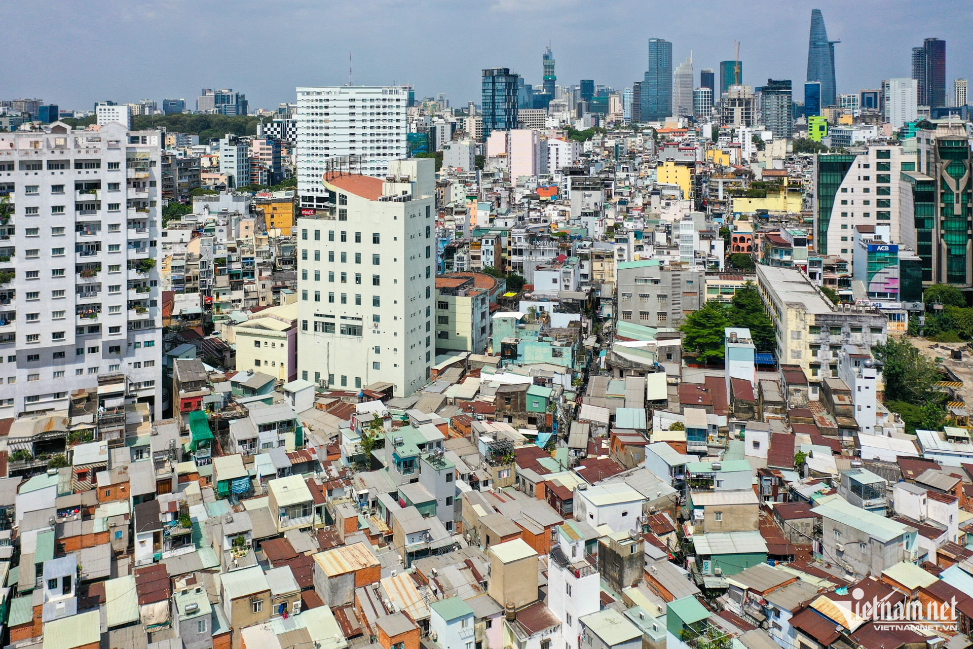
Early in 2024, HCM City released a report outlining the Saigon River’s planning within the city’s broader urban development framework.
The planning comprises a 4km riverside road from Ba Son Bridge to Binh Trieu Bridge, with an investment of VND3,380 billion (to be implemented in 2024-2030). Looking further, experts are discussing a plan on an 80km riverfront spaces stretching through the city.
Potential
Huynh Dat Vu Khoa, PhD, from AVSE Global, stressed that the Saigon River must be exploited properly. To succeed, HCMC needs a long-term vision based on consensus among authorities, experts, and the community.
Drawing inspiration from iconic rivers like the Seine in Paris or the Thames in London, he proposed creating public riverfront spaces with pedestrian walkways, bike paths, parks, squares, cafes, and art exhibitions, the places where residents and tourists can enjoy urban life by a tranquil stream.
He also proposed integrated urban zones which combine residential, commercial, and office spaces, planned with tiered heights and densities decreasing toward the river (from 20, 50, to 100 meters depending on area). This approach, according to Khoa, ensures open spaces and avoids a “concrete wall”.
It is necessary to pay more attention to waterway transport. “The Saigon River could become a vital transport axis, with ferries, tourist boats, and water taxis thriving like on the Seine,” he said.
Another highlight from AVSE’s proposal is leveraging the river’s cultural-historical depth. Heritage sites like Nha Rong Wharf and Bac Dang Wharf should be celebrated to shape the Saigon River’s identity for residents and visitors.
Sustainability
Urban riverfront spaces cannot be just concrete and glass. AVSE experts emphasize the importance of green corridors and natural wetlands, the elements that help absorb rainwater, mitigate flooding, and preserve ecosystems.
“We can learn smart water regulation model from the Thames,” Khoa said. Beyond scientifically designed drainage, London uses “rain gardens,” designed to quickly absorb water during heavy rains.
For riverbanks, instead of rigid concrete barriers, the city could adopt the Danube River’s approach in Europe: using natural stones and planting aquatic vegetation to protect natural flows while creating ecological landscapes.
Flood prevention
Bui Man, PhD, of the GTC Soil Analysis Services Laboratory in Dubai (UAE), agrees with Khoa’s approach for Saigon River planning. He said that Saigon planning must follow foundational principles: harmony with nature, human-centric focus, water resource management, and preservation of urban culture and heritage.
HCM City’s should consider the entire river and canal system as the “urban soul” which is both a heritage to protect and a brand asset for strategic and sustainable exploitation.
Man emphasized the fundamental principle of “giving space back to water” — that is, maximize the water surface area, combined with an effective horizontal sewer system.
Unlike traditional vertical sewers, horizontal ones are short conduits discharging water directly into canals and detention basins, reducing drainage time. Thus, the city should accelerate the construction of interconnected underground retention basins to enhance flood regulation during rainy seasons.
There are several measures to increase water storage capacity: regular dredging of the Saigon River and main canals, widening channels’ bed, deepening flows, building vertical embankments, and upgrading underground drainage with larger conduits.
Meanwhile, residents can install rainwater collecting tanks to boost local storage and ease pressure on the public system. Pumps should be put in low-lying areas, but there must be sufficient reservoirs and canals to speed drainage at flood-prone spots.
“Addressing flooding must be put on top priority, as it severely impacts tourism, business, and residents’ quality of life,” Man said.
From river to the sea
For transport planning along the Saigon River, Man proposed building riverside boulevards and a metro line along the river, extending downstream. These routes would continue along Soai Rap and Long Tau rivers to connect to the sea.
He said that this should be established as one of HCM City’s strategic “backbone” transport axes in the 21st century, as the city’s urban and economic development will shift toward the sea, aligning with the Blue Economy strategy.
These routes would also create distinctive riverfront spaces, driving coastal tourism, cultural areas, and premium riverside and seaside real estate.
Nguyen Thao